
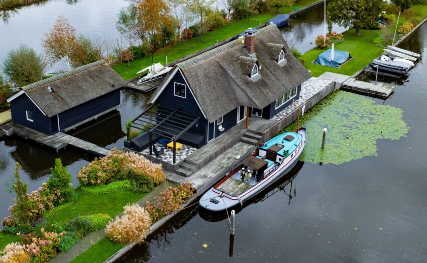
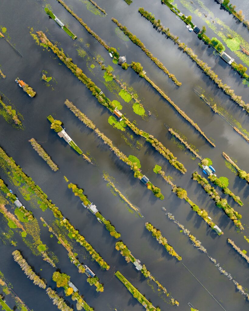
Erik Kruug’s aerial photographs of the Loosdrecht Lakes in the Netherlands document a residential landscape shaped by water, narrow strips of land and a history that predates the houses themselves. Seen from above, homes appear along thin green fragments surrounded by dark channels, with gardens, terraces, jetties and boats extending the domestic space directly into the lakes.
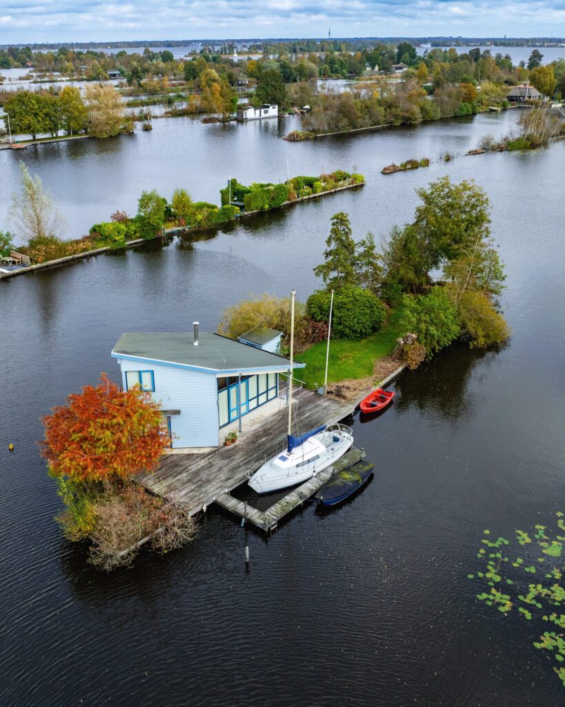
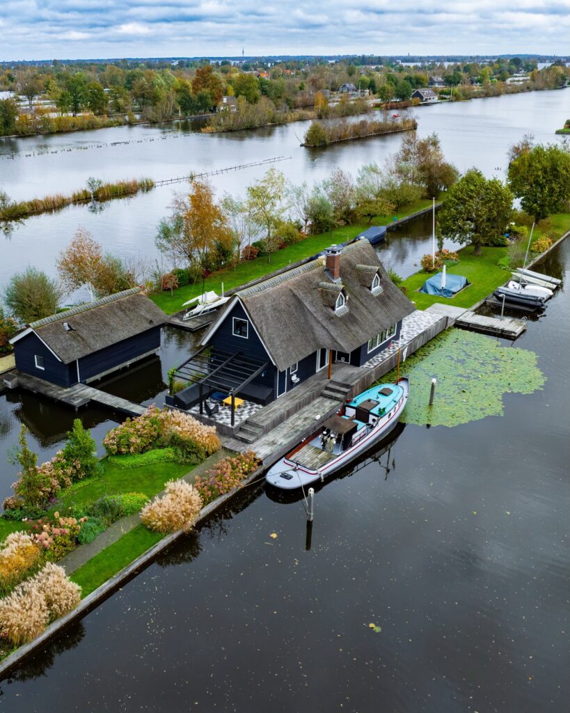
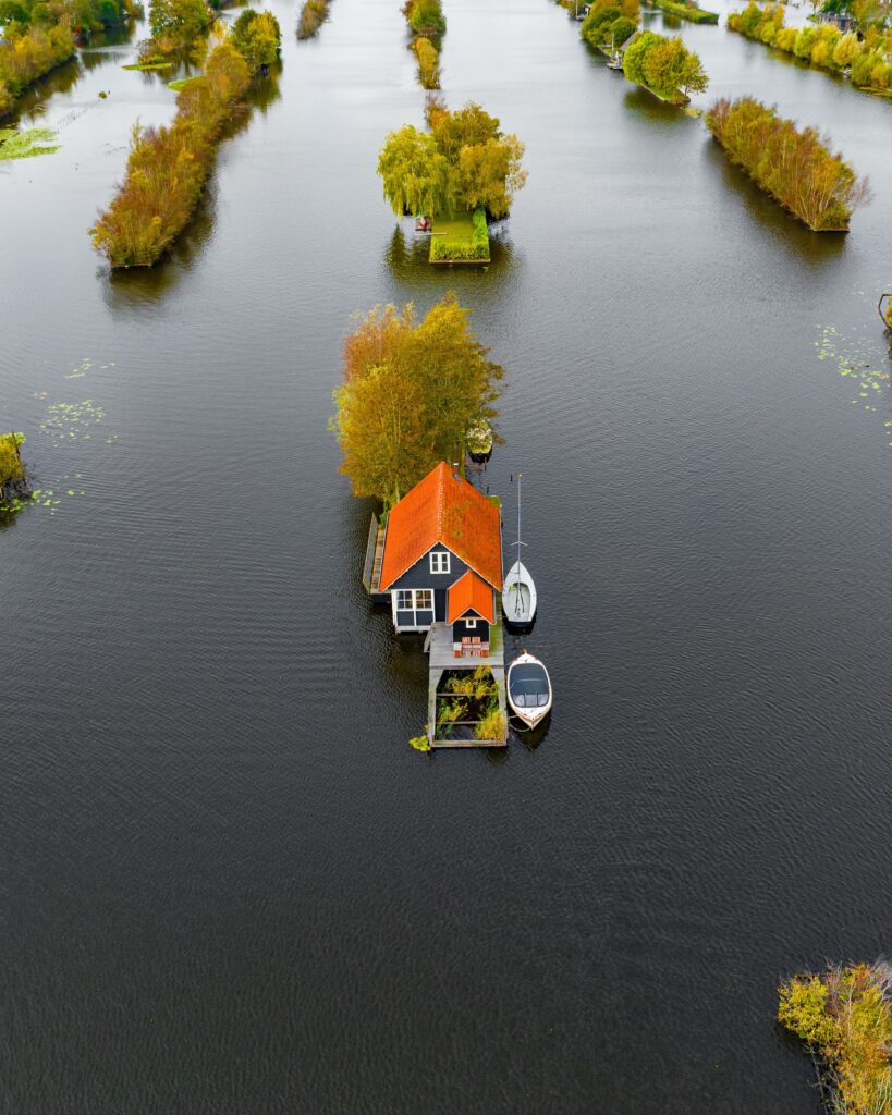
Situated between Amsterdam and Utrecht, the Loosdrecht Lakes occupy a landscape created through centuries of peat extraction. What began as a low-lying wetland was gradually cut into for fuel from the 16th century onwards. As peat was removed, deep trenches formed and eventually filled with rainwater, groundwater and flooding. The remaining embankments became the elongated pieces of land that now hold houses, vegetation and small access paths.
That history is still legible in the way people live here. Residential plots are often remarkably narrow, stretching lengthwise between waterways. There may be no conventional driveway, with a private jetty taking its place. A boat can serve as everyday transport, while a deck becomes an outdoor room for dining, swimming, reading or simply staying close to the water.
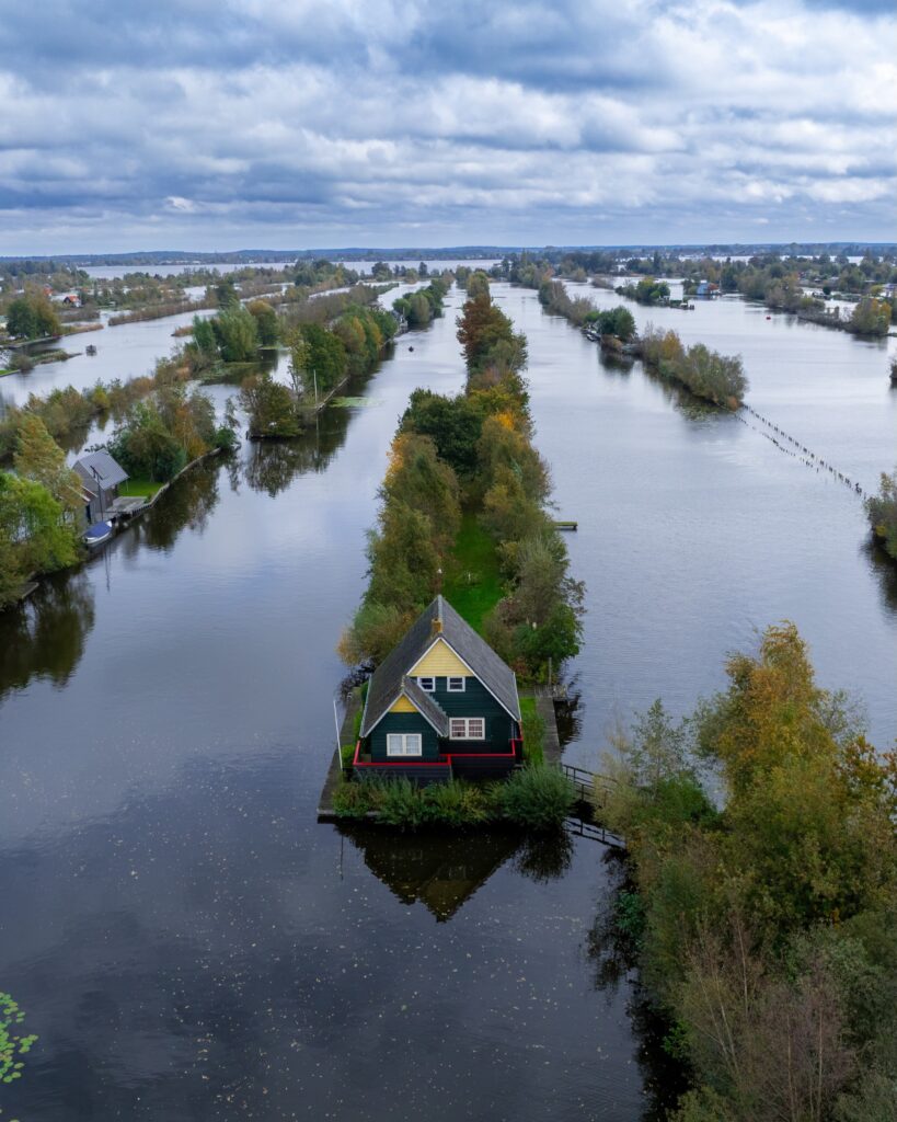
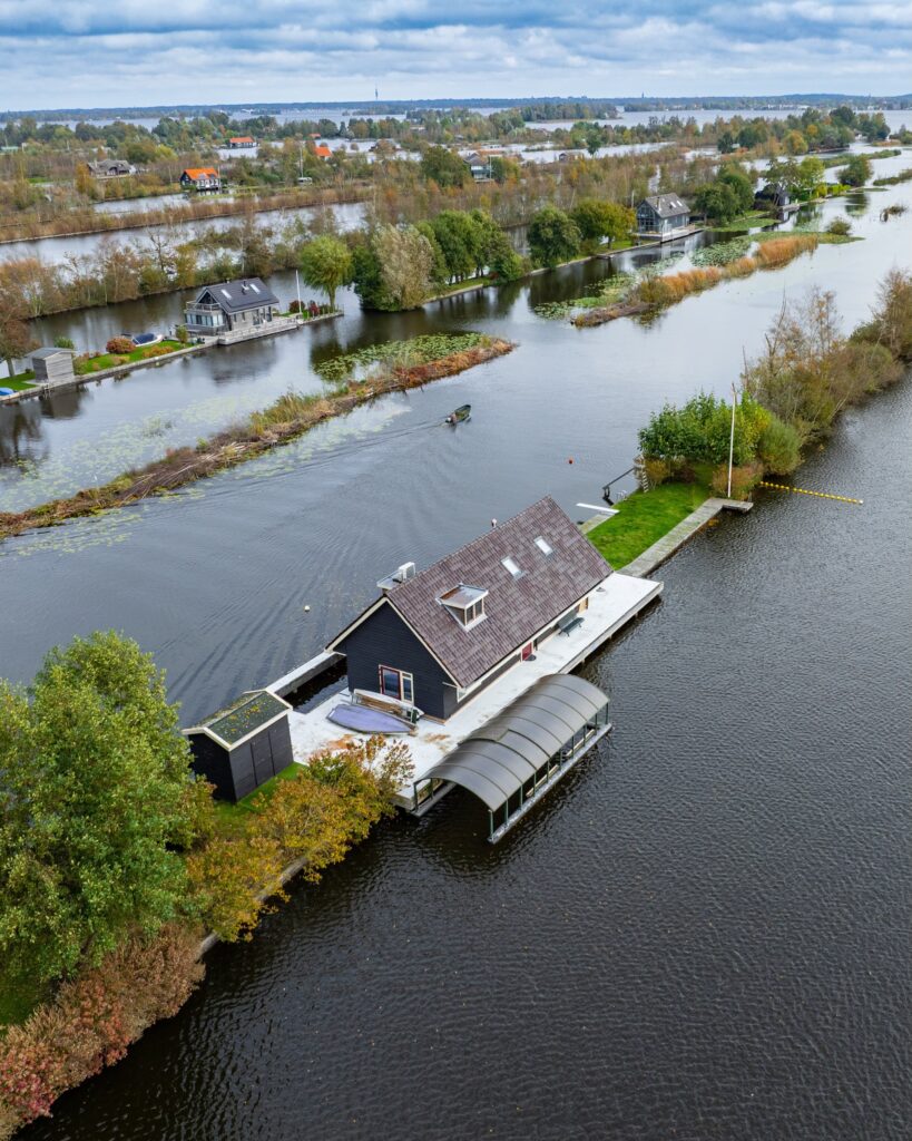
The architecture tends to respond directly to these restrictions. Timber houses occupy the remaining strips of land with carefully positioned openings, generous glazing and terraces facing the lakes. Their footprint is dictated by the geography inherited from the old peat fields, while docks and gardens extend the usable territory beyond the walls.
Water also functions as infrastructure. Canals connect individual properties to the wider lake system, replacing the street networks found in conventional residential districts. Kayaks, sailing boats and small electric vessels become part of the daily movement through the neighbourhood, while the boundary between private property and open landscape is marked by a jetty rather than a pavement or fence.
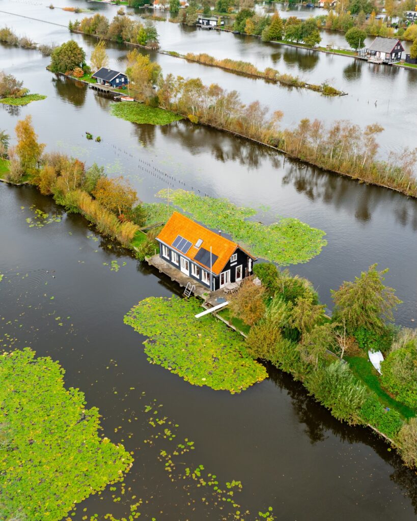
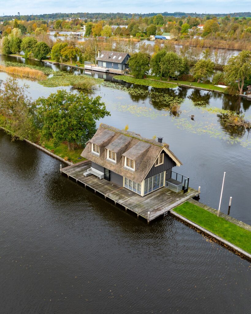
The character of the area changes considerably with the seasons. Summer brings gardens, terraces and boats into constant use, making the transition from land to water almost imperceptible. In winter, the same narrow plots, reeds and exposed shorelines take on a quieter, more austere character.
Kruug’s aerial perspective makes the structure of this settlement particularly visible. Houses sit at the ends of narrow parcels, disappear among trees and reeds, or occupy isolated fragments surrounded by water. What looks from ground level like a collection of individual homes becomes, from above, a coherent settlement pattern determined by the pieces of land left behind by an industrial landscape.
The Loosdrecht Lakes were never conceived as a residential neighbourhood. Their present form emerged gradually from extraction, flooding, adaptation and later recreational development. Housing arrived into a geography that had already been radically altered, and its architecture continues to follow those conditions.
Here, the lake is not simply scenery outside the window. It determines access, movement, orientation and the shape of domestic life. The result is a Dutch residential landscape where architecture occupies the space between what remains of the land and everything the water has taken over.
More about Erik Kruug online:
Instagram